


GeoNames
GeoNames
Geographical database of 11M placenames
- Pricing
- Free
- Platforms
- Not listed yet
Overview
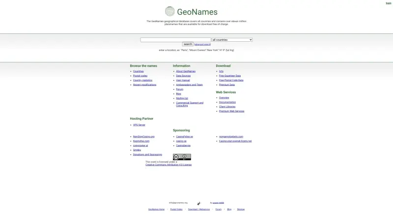
GeoNames is a comprehensive geographical database that helps users find and download location-based data, covering over eleven million placenames across all countries. It's a valuable resource for anyone needing detailed geographic information.
GeoNames provides a wide range of features, including the ability to browse countries, postal codes, and country statistics, as well as access to recent modifications. This makes it an essential tool for a range of applications, from research and development to everyday use, by offering a robust, free dataset that can be easily integrated into various projects.
Details
What is GeoNames?
GeoNames is a geographic database that offers a vast collection of location-based data, allowing users to search for and download information about places worldwide. It supports a wide range of uses, from simple queries to complex applications, by providing a comprehensive dataset accessible via its website or for offline use.
What are the key features of GeoNames?
Comprehensive geographical database covering over eleven million placenames across all countries
Ability to browse countries, postal codes, and country statistics
Access to recent modifications, ensuring the data stays up-to-date
Free download of gazetteer data and postal code data for various uses
Premium data and web services available for more advanced applications
Who is GeoNames best for?
Researchers and developers needing detailed geographic information for their projects
Businesses and organizations requiring location-based data for their applications
Individuals looking for a reliable source of geographic information for personal use
What can you use GeoNames for?
Location-based research and development projects
Geographic information systems (GIS) applications
Mapping and navigation services
How does GeoNames compare to alternatives?
GeoNames offers a comprehensive and free geographical database, making it a valuable alternative to paid services or less extensive datasets
Compared to manual data collection or local tools, GeoNames provides a more efficient and reliable way to access location-based information
What integrations and ecosystem support does GeoNames offer?
GeoNames provides web services, including overview, documentation, and client libraries, to support integration with various applications and platforms
What are the pros of GeoNames?
Pros: comprehensive dataset; free access to gazetteer and postal code data; premium services available for advanced applications
Frequently asked questions about GeoNames
How can I access the GeoNames database?
You can access the GeoNames database through its website, where you can browse and download location-based data, or use its web services for more advanced applications.
Is the GeoNames dataset free to use?
Yes, the GeoNames dataset is free to use, with gazetteer and postal code data available for download at no cost. Premium data and services are also available for a fee.
Alternatives
A shortlist of related products to compare before you leave the page.

Semantic Pen
Automate Your Organic Growth
SaaS
Freemium, Free
Effortlessly create, schedule, and publish months of expert-level, SEO-ready articles that drive consistent organic traffic, reducing manual effort.

Authentik
The worlds first rapid political bias analytics
Analytics
Free
Developed by Orkavi, the AI system achieved a remarkable 0.07 Mean Absolute Error when benchmarked against the AllSides dataset, making it the most pr...

PDFBake
Experience interactive tools that transform your pdf, excel sheets, data and images.
Productivity
Free
Beyond PDFs, we provide a full set of utilities for your images. Convert formats, resize dimensions for social media, compress for web use, or crop to...
Launched
Ideal for
Developers
Enterprises
Ownership
If this is your product, contact us and we can help transfer it to you.